Friday, May 21, 2010

St Augustine

Leaving Cumberland Island, we decided to run out in the ocean to St Augustine.  The inlet at St Mary's River is deep and wide and regularly used by the nuclear submarines going up to Kings Bay Submarine Base just up the river.  The run from inlet to the St Augustine inlet is about 48 nautical miles.


We leave a trail off into the horizon.


We stayed close enough to land that Katy could stay in contact.


We did see both a large sea turtle and either a large manatee or a small whale.  We were not quick enough to get pictures of either.

There were several cargo ships anchored outside of Jacksonville waiting to go into port.


As we pulled into the St Augustine harbor, the Black Pearl was waiting for us.


We pull up to the fuel dock (251 gallons) and then into our slip.

The captain starts his cleaning routine.


Four hours of cleaning and the boat shines from top to bottom (can we say anal?)


The sailboat next to us had a family with 2 young boys on board and 2 cats.  A protective fence around the rail kept them all onboard.


The cats were interested in the snowy egret fishing from their bow line.


Wednesday, May 19, 2010

Cumberland Island, Georgia


Currently anchored at Cumberland Island. We are running low on rum
and the captain has ordered reduced rations for the crew. As a result, the crew
have become surly and there are mutinous whisperings among them.  However, they know the captain is quick to rig the grate and heavy with the cat-o-nine-tails.


Although people have lived on Cumberland Island for thousands of years, there are only a few traces left of their impact.


Most of the island is now part of the Cumberland Island National Seashore.


Tuesday, May 18, 2010

Sunset on the Frederica River

Only took three trys to spell Frederica. Too many "usuals".

Frederica River Anchorage

Sunny skies today and light winds from the west. We got an early
start from Savannah to catch the slack at low tide. We crossed St
Catherine's Sound, Sapelo Sound, Doboy Sound and Buttermilk Sound.
All were smooth and calm.

Tonight we are anchored in the Frederica River across from the Fort
Frederica National Monument.

Monday, May 17, 2010

Savannah, GA - day 2

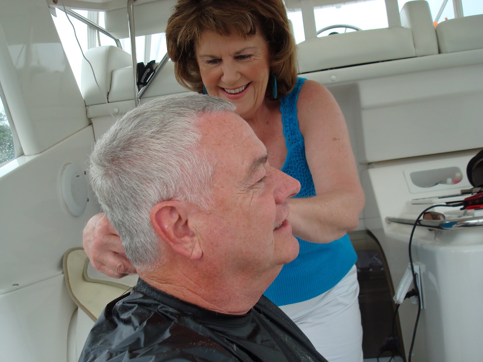
The weather forecast for today called for isolated showers and thunderstorms.  In fact, after breakfast, a shower came by and we decided it was time to cut my hair (my favorite barber was on board).


Katy always does a good job and I consider any haircut where no blood is spilt a success.


Hows that for one-handed picture taking?

After we cleaned up, the rain shower passed and we went for a walk.  I also needed to replace my wireless mouse for the laptop as the one I have been using has died.  I suspect it was dropped once too many times.  The dockmaster suggested a cellular store a few blocks away.  The cellular store did not have one, but an office supply store two doors down did.

Savannah was well designed with perfectly laid out square streets by British General James Olgethorpe in 1733.  A repeated pattern of open squares were intended to help prevent attack of the city from the waterfront.  Today those squares have been preserved as parks and open areas, providing more open space than any other city. 

The city's two mile square historic district is the nation's largest urban National Historic Landmark with more than 1,000 architechurally or historically significant structures restored and in use (per the Chamber of Commerce brochure).  Savannah is 18 miles from the Atlantic and sits on a 40 foot high bluff overlooking the Savannah River. 

Johnson Square was the city's first square laid out by Oglethorpe, and named for his friend Governor Robert Johnson of South Carolina.  The early colonists used the square as the center of their community and a sundial kept there was referenced for the time of day.  A replica of the sundial remains.


It is apparently indifferent to Daylight Savings Time.

The Square is also dominated by a huge granite shaft at its center, a monument to Nathanael Greene.  During the latter stages of the American Revolution, Rhode Island General Nathanael Greene was dispatched by George Washington to take command of the Southern forces in the face of almost impossible odds.  Greene's brilliant leadership has been credited with the eventual removal of British forces from the region.  He was considered a hero by the southern colonists and lived for a short time on Cumberland Island on Georgia's southern coast.  His remains lie buied under this monument to his leadership and bravery.


The square is graced with huge live oak trees.


Of course, a stop st Paula Deen's store is a must.


Probably the best collection of aprons I have ever seen.

Farther north we come to the City Market, a collection of shops and restaurants.


Ted takes a break from the hiking.

  
While Katy admires the flowers.


Continuing on, we enter another square, this one honoring the African-American soldiers who fought valiantly in the Revolutionary War.


We circle back down to River Street along the waterfront, a 9 block long plaza containing more than 70 boutiques, restaurants, galleries, pubs and museums, where we are docked. 
We could not resist the Savannah Candy Factory, where they do indeed make their own.


Taffy at it's best.


The taffy - wrapper...


Barrels of hard candy,


Chocolate, and the best ever pralines. 

After dinner, we watch as a freighter slid quietly into the sunset.


The "Georgia Queen" came by in full party mode...


And a large container ship slides by in the darkness like a ghost in the night...


Tomorrow, we are heading south and will anchor out over the next two or three days between here and Cumberland Island.  Probably will not have an internet connection, but maybe we can send up a picture or two via iphone.


Savannah, GA

Yesterday we made the short hop (about 40 miles by water) to Savannah.  We stopped at Hilton Head for fuel (212 gallons, the first since leaving Sneads Ferry) and called the River Street Market Marina for a slip. 

We docked right in front of some good-size tug boats and behind a 100 foot motor yacht.


The dinner "steamboat" comes by.


Savannah is a major port and the freight docks are upstream from our slip, so we see several large freighters come by.


I need a wider angle lens.


Each time a ship enters or leaves, one or two of the tug boats move up the river to help dock.  I wonder why they don't stay closer to the freight docks.

Later we walk up River Street to dinner at Hueys, famous for it's Louisiana- style food(?)


In the spirit of the theme we have the crawfish etouffee, parmesan grits, red beans and rice, and for dessert, beignets fresh from the oven with praline sauce.  Yum.

Saturday, May 15, 2010

Beaufort, SC (pronounced Bewferd)

It was another sunny, beautiful day as we pulled away from the dock at Charleston.  South of Charleston, the coastline begins a radical transformation.  Gone are the simple pattern of rivers and streams found to the north.  The ICW now follows an increasingly complicated and often bewildering maze of creeks, rivers and inlets, all of which flow around the plentiful Sea Islands.  These small, often marshy land masses are the most striking feature of the southern SC coast.  Separated from the mainland by multiple streams, they provide some of the most scenic and historic cruising grounds in the state.

The main rivers in the northern section are the Stono and North Edisto Rivers.  The smaller Wadmalaw and Dawho Rivers join these principal streams and are followed by the ICW as it snakes it way south.  They are joined by small, often shallow cuts.

Here is a typical scene from the waterway.


Since many of the rivers are wide and fairly undeveloped, we made good time and reached Beaufort around 3:00 p.m.  Beaufort sits on the banks of the Beaufort River and the Downtown Marina sits in the heart of the historical district.  We had time before dinner so I got out the trusty bike and took a few pictures.

There was a 10 foot tide today, this is how the marina looked at low tide.


As I write this at about 11:00 p.m., I walked out on the aft deck and the water level is now within 12 inches of the top of that wall.

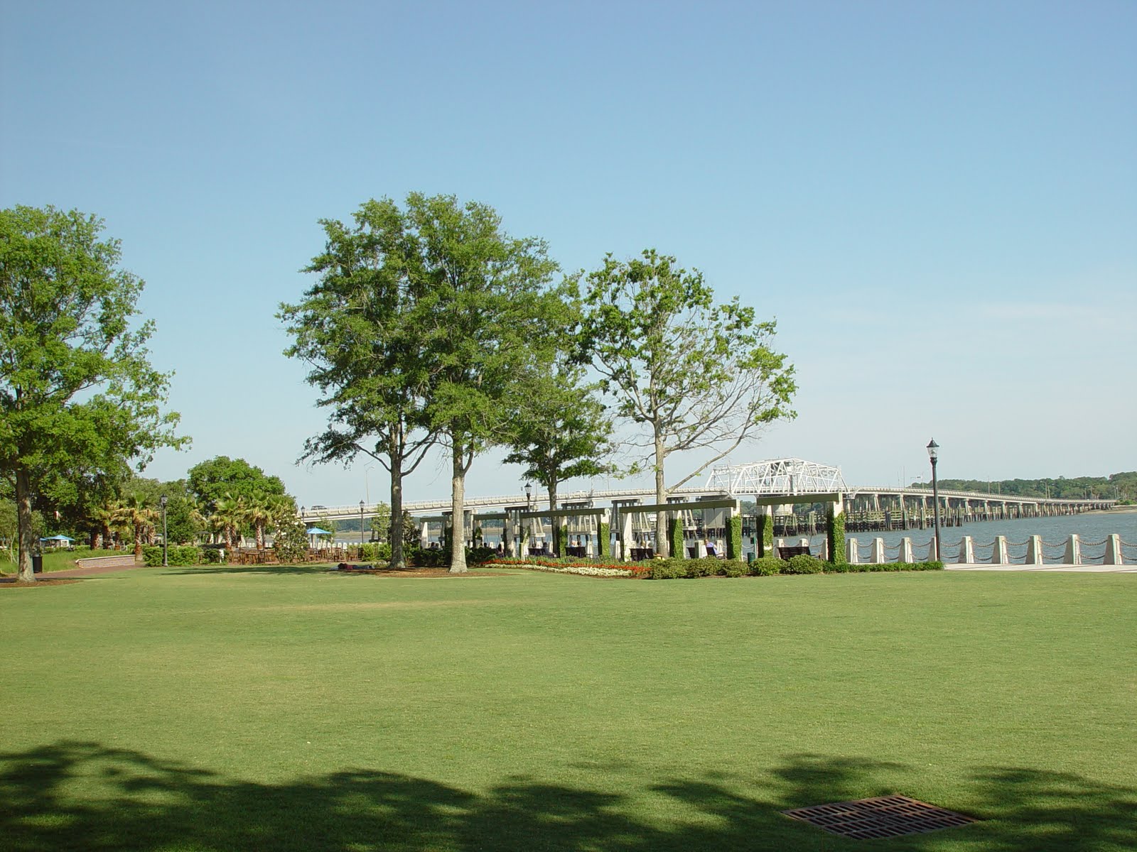
There is a lovely park next to the marina, several pictures follow.


There are several restaurants that front onto the park, this one is Plum's.


A young girl was fascinated by my bike (it folds and has small wheels), so I let her ride it and she gave me a big smile.


Next I rode down Bay street, the residential waterfront street to the west, featuring huge, old live oak trees draped in moss.


The street is also lined with homes dating to the early 1800's, including locations fimed in "The Big Chill", "The Prince of Tides", "Forrest Gump" and others.


Since we had reservations at the Saltus restaurant, along the park waterfront, we wondered over there about 6:00.

Sunday, May 16 - Town was quiet this morning so took out the bike and rode around.  There are street after street of historic houses, here is the view along a back street.


I would love to spend a week in Beaufort, but it was time to go.  Today we decide to travel to Savannah, Ga. and stay a couple of nights.  We haven't been to Savannah for several years and it's only 8 miles up the Savannah River from the ICW.